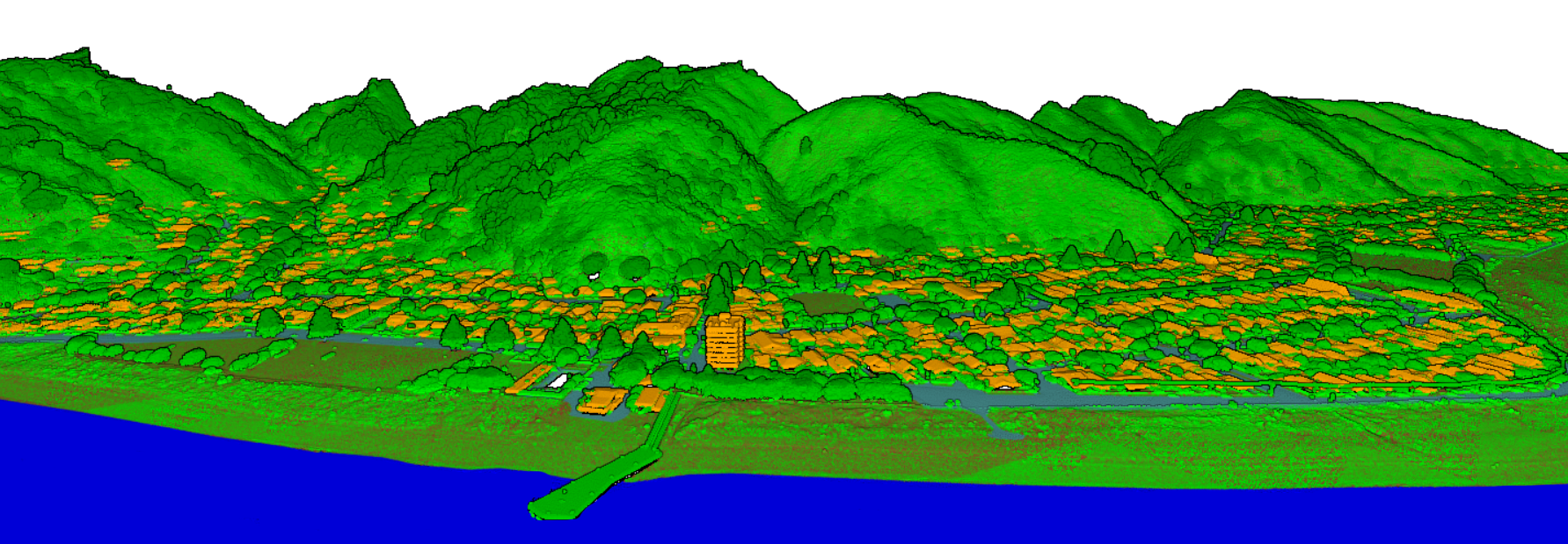
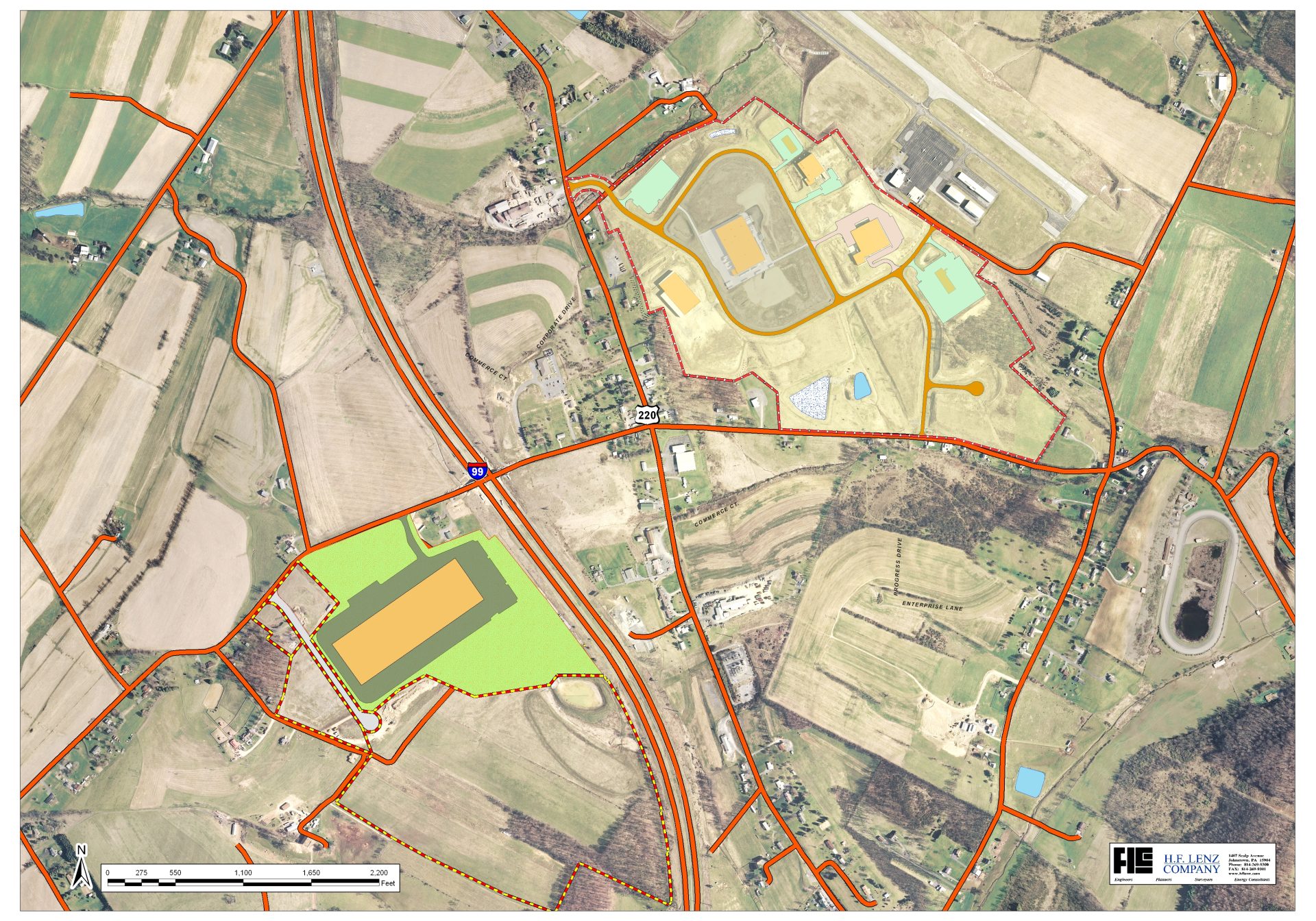
3D Modelling
3D Modelling services transform LiDAR and survey data into accurate digital
representations for visualisation, planning, engineering, and GIS applications.
High-quality 3D models help improve project analysis, infrastructure design,
simulation, and decision-making across various industries.
Ground Surface & Terrain Model
Ground Surface and Terrain Models provide accurate representations of the
natural land surface by removing buildings, vegetation, and other above-ground
objects from LiDAR data. These models support terrain analysis, infrastructure
planning, flood assessment, construction projects, and topographic mapping
with precise elevation information.
Hydrographic Survey & Underwater Terrain Model
Hydrographic Survey and Underwater Terrain Models provide accurate mapping of
seabed surfaces, coastal regions, rivers, and shallow water environments.
Using advanced LiDAR and survey technologies, detailed underwater elevation
data is captured to support marine construction, coastal management,
navigation safety, dredging operations, and environmental monitoring.
Hydrographic Survey & Underwater Terrain Model process
- Seafloor elevation mapping
- Underwater terrain classification
- Coastal and shoreline analysis
- Water depth measurement data
- River and coastal bathymetric models
- 3D underwater surface generation
- Marine navigation support data
- Hydrographic survey point cloud processing
Benefits With This Process
- Accurate underwater terrain and depth analysis
- Improved coastal and marine infrastructure planning
- Supports safe marine navigation and dredging operations
- Efficient monitoring of shoreline and seabed changes
- High-precision data collection for environmental studies
- Cost-effective surveying for large water bodies
- Enhanced planning for offshore construction projects
- Reliable geospatial data for hydrographic applications