Corrected Aerial Image Products
Digital Orthophoto Production
Photographic detail with the measurement value of a traditional map.
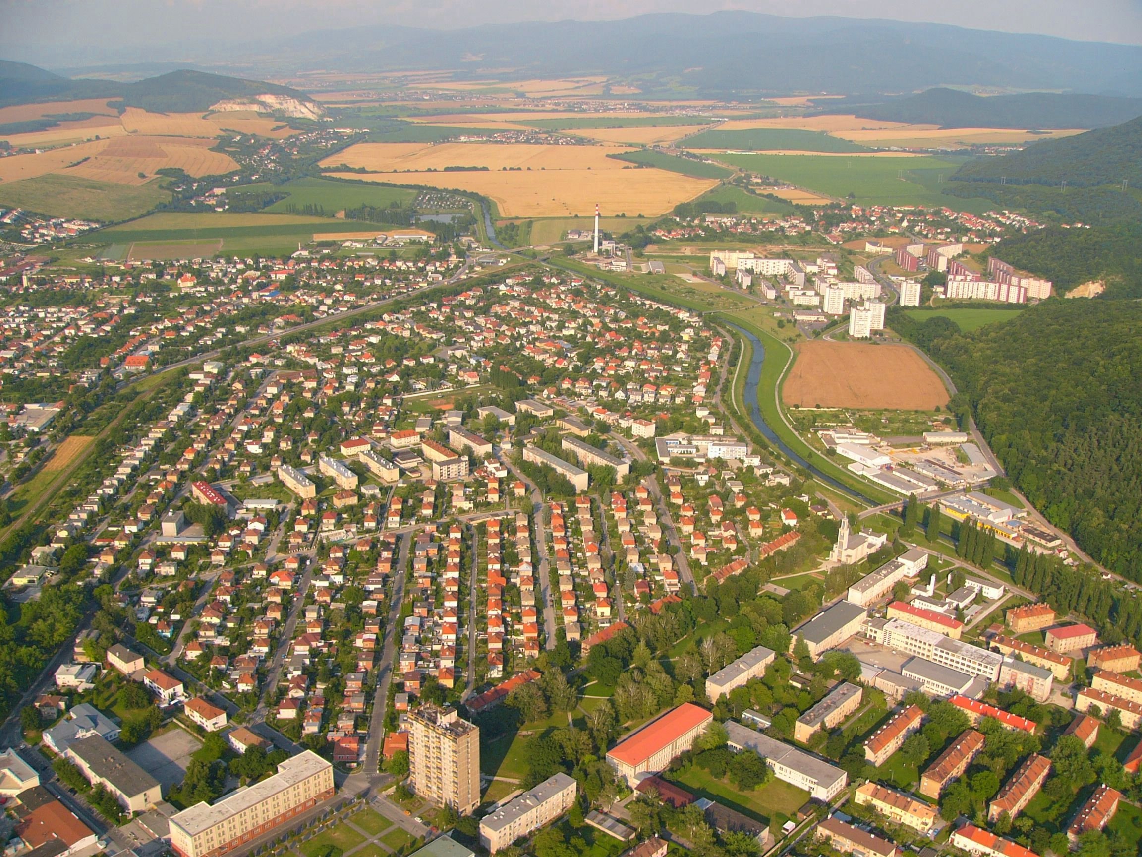
The orthophoto process transforms a vertical aerial photograph into the equivalent of a traditional map while retaining the advantages of real photography. It shows cultural features, land patterns, buildings, roads, and the built environment directly instead of representing everything only through symbols and linework.
Digital photogrammetry has made orthophotos a widely used mapping product for public and private-sector projects because they are easy to interpret, accurate enough for GIS use, and visually useful for planning, inspection, monitoring, and decision-making.
Orthorectification
Correct image geometry so the final photograph behaves like a map.
Raw aerial photographs contain perspective, relief displacement, and camera geometry effects. Orthophoto generation corrects those distortions using control, camera orientation, and elevation data so the final image can support measurement, overlay, interpretation, and mapping workflows.
The result is a visually rich base layer that can be combined with planimetric mapping, terrain models, cadastral data, infrastructure layers, and project-specific GIS information.
Map-Accurate Imagery
Corrected aerial images prepared for measurement, planning, and GIS overlay.
Orthophoto Mosaics
Multiple corrected images balanced and joined into a continuous project mosaic.
Image Balancing
Density and visual variation matching across adjacent orthoimages for clean output.
Natural Join Lines
Manual join-line placement along natural ground features wherever possible.
Structure-Aware Editing
Join lines avoid buildings, bridges, and fabricated structures above ground level.
Quality Review
Final mosaics are reviewed for visible joins, tonal shifts, geometry, and clarity.
Mosaicing Workflow
Seamless image products from overlapping orthophotos.
Seamless image products created from overlapping orthophotos, delivering clear, accurate, and continuous aerial imagery for mapping and analysis. These high-resolution mosaics provide reliable visual data for urban planning, infrastructure development, agriculture, and GIS applications with consistent alignment and minimal distortion.
Production Process
From aerial image capture to final seamless mosaic.
- Prepare aerial imagery, camera information, control, and elevation inputs.
- Correct image distortion and terrain displacement through orthorectification.
- Balance tone, density, and visual consistency between overlapping images.
- Select natural join lines that avoid above-ground structures.
- Review and deliver GIS-ready orthophoto mosaics for project use.