Aerial / Aero Triangulation
Aerial / Aero Triangulation
Ground control, image orientation, and block geometry made production-ready.
Aerial triangulation is the process of continuously densifying and extending ground control through computational means. The operation includes establishing ground control points, performing interior orientation, measuring and transferring tie, check, and control points across photographs, and completing least squares block adjustment.
The adjusted block becomes the geometric foundation for downstream aerial photogrammetry, including mapping, terrain extraction, orthophoto generation, and accurate 3D coordinate measurement.
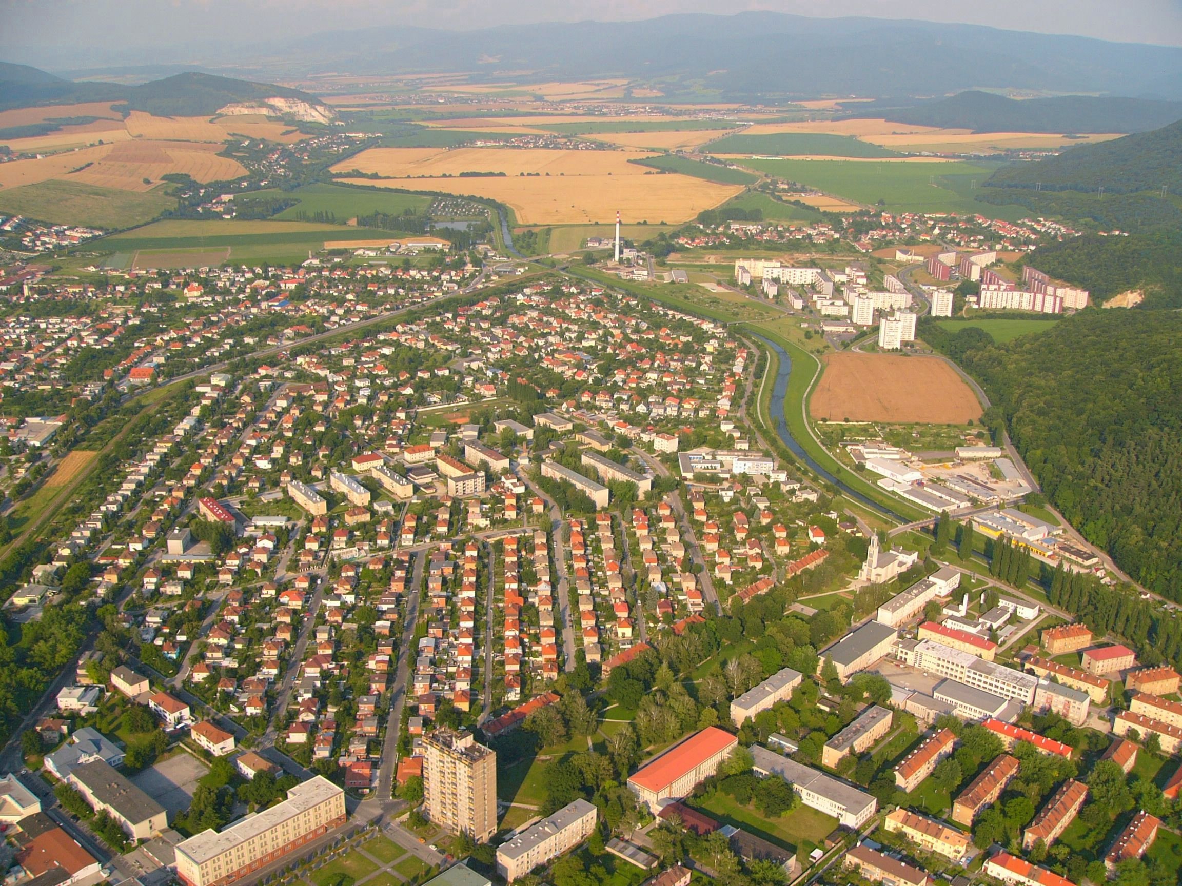
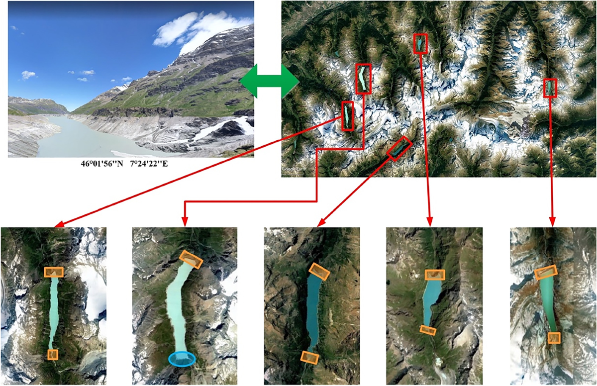
Control and Coordinates
Calculating dependable 3D coordinates from overlapping aerial photographs.
With aerial triangulation in aerial photogrammetry, three-dimensional coordinates can be calculated for object elements visible in overlapping imagery. The process requires some known-position points that appear in the photographs; these ground control points anchor the aerial triangulation network.
Ground Control Points
Known control positions establish the reference framework for the whole image block.
Interior Orientation
Camera and image geometry are prepared before tie point transfer and adjustment.
Tie Point Transfer
Tie, check, and control points are measured and transferred manually or automatically.
Least Squares Adjustment
Measurements are balanced into one consistent block for accurate mapping production.
3D Coordinates
Adjusted geometry supports precise object coordinate calculation from aerial imagery.
Quality Control
Check points and control validation help verify geometry before final deliverables.
Correlation Workflow
AT production aligned to client requirements and quality targets.
Correlation and production can be completed with Match-AT, ISST, Socet Set, and Orima according to client requirements. The production workflow follows a clear sequence for preparing control, correlating imagery, measuring points, adjusting the block, and reviewing quality.
Production Procedure
Simple, controlled steps for dependable AT output.
Prepare Control
Collect project control, camera details, and imagery inputs for orientation.
Measure Points
Transfer tie, check, and control points across all relevant photographs.
Adjust Block
Run least squares adjustment and resolve residuals for a stable image block.
Validate Quality
Review check points, control consistency, and readiness for mapping production.