Mobile LiDAR Vectorization
Topographic Mapping and MLS Vectors
Vectorized mapping data for smarter planning and decision making.
Vectorized mapping data provides accurate and organized digital representations of geographic features such as roads, buildings, rivers, and boundaries. It helps improve planning and decision-making by enabling precise analysis, easy data management, and efficient visualization in GIS applications. Vector data supports urban development, infrastructure planning, environmental monitoring, and resource management by offering high-quality spatial information. Its scalability and accuracy make it an essential tool for smarter planning and sustainable development initiatives.
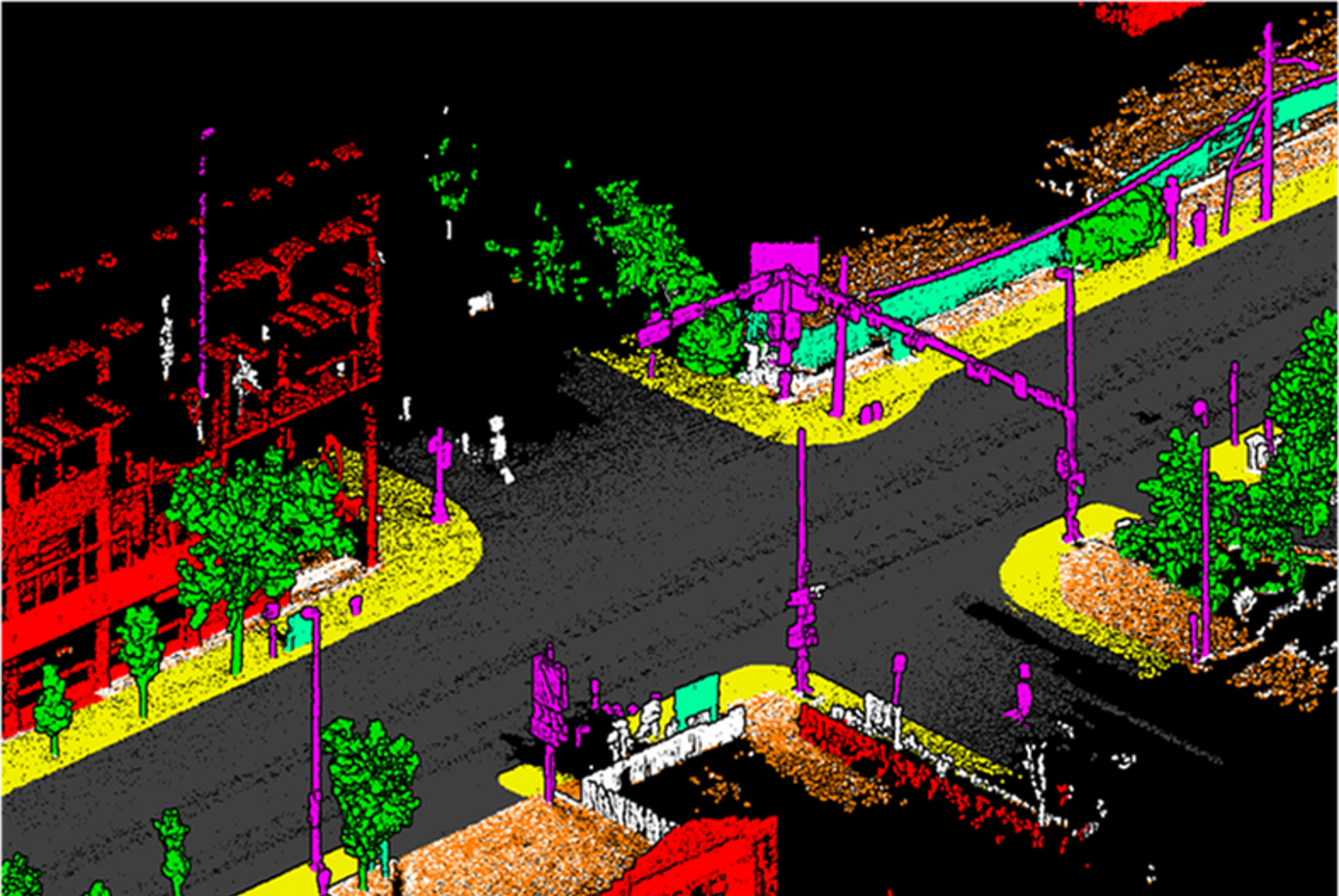
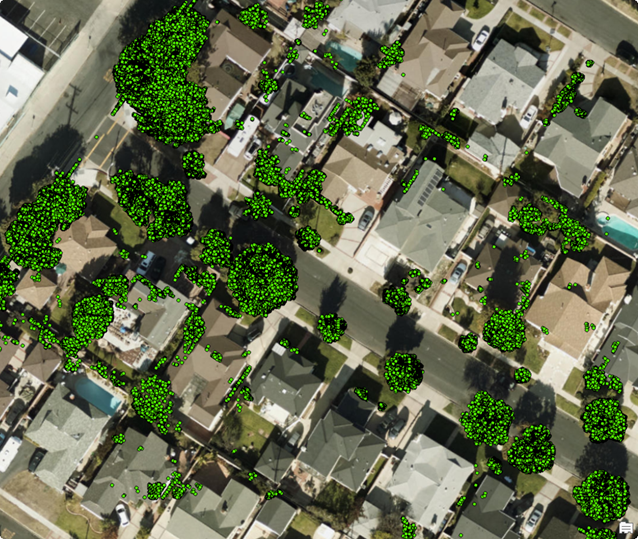
Our MLS Vectorization Services
From point clouds and terrain data to project-ready vector layers.
Point clouds and terrain data are transformed into accurate, project-ready vector layers through advanced processing and mapping techniques. These vector layers provide clear and structured geographic information such as contours, boundaries, roads, and infrastructure features. The conversion process improves data usability for GIS analysis, urban planning, engineering, and environmental management. By creating precise and reliable vector outputs, organizations can support efficient project planning, better visualization, and informed decision-making.
Road and Corridor Features
Vectorized road edges, lane markings, kerbs, assets, and corridor elements from MLS datasets.
Topographic Mapping
Detailed topographic outputs that support route planning, thematic mapping, and planning decisions.
Planimetric Layers
Buildings, boundaries, utilities, terrain breaks, vegetation, and surface features prepared for GIS.
DTM and Contours
Digital terrain model support, elevation layers, surface data, and contour-ready mapping outputs.
Orthophoto Integration
Combined vector, orthophoto, and terrain information for clearer data interpretation and delivery.
Quality-Controlled Delivery
Assured quality processes and skilled resources help clients get better value from mapping investment.
Global Delivery Framework
Scalable vector mapping support for infrastructure and GIS teams.
Scalable vector mapping support enables infrastructure and GIS teams to manage, analyze, and visualize spatial data more efficiently. High-quality vector maps provide accurate representations of roads, utilities, land boundaries, and other geographic features essential for planning and development projects. These mapping solutions improve workflow efficiency, support large-scale infrastructure management, and enhance decision-making through reliable geographic information. By integrating advanced GIS technologies, vector mapping helps teams achieve better accuracy, productivity, and long-term project sustainability.