Horizontal Feature Mapping
Digital Planimetric Mapping
Accurate horizontal detail for GIS, planning, and engineering decisions.
Digital planimetric mapping provides accurate horizontal distance measurement and clear representation of visible surface features. The usefulness of a planimetric map depends on the quality of the source data and the method used to extract each detail.
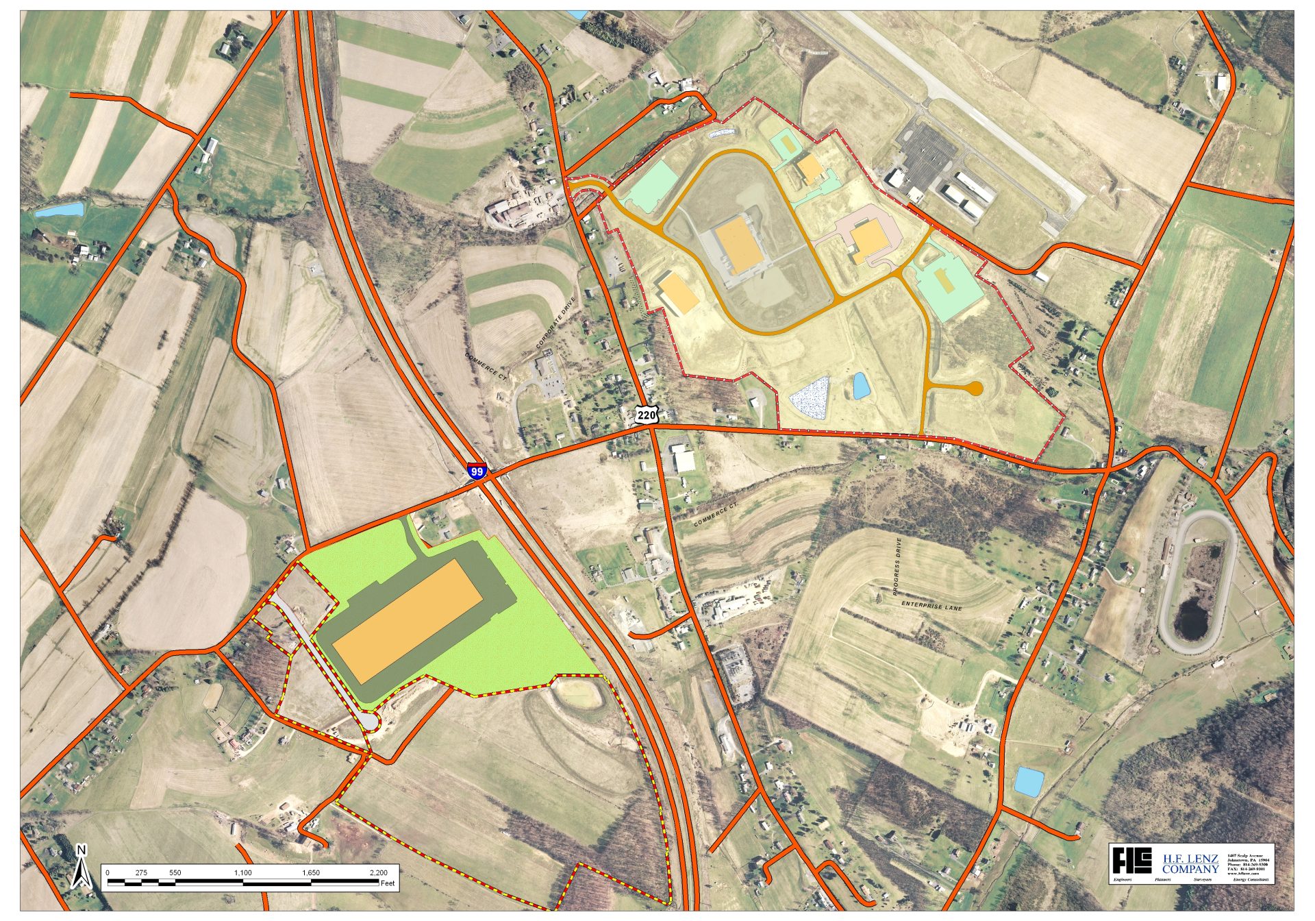
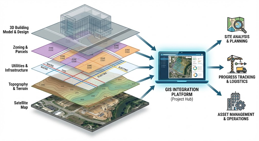
Aerial photography can be digitized to form a GIS base. Selected object detail levels are captured, organized, and converted into a planimetric map that is simple to read and practical to maintain.
Feature Extraction
From aerial photographs to clean map-ready vectors.
Aerial photos are analyzed with advanced software tools and experienced production teams to identify planimetric data. Through photogrammetry, exact positions of surface points can be recovered, and stereo imagery allows each map feature to be defined three-dimensionally as vectors and points.
Transportation Features
Road edges, centerlines, bridges, tracks, and visible route features captured for mapping.
Parcels and Boundaries
Horizontal feature lines organized into clear, consistent GIS and CAD-ready layers.
Water and Land Detail
Water bodies, drainage, vegetation edges, open areas, and land-use details digitized from imagery.
Vector Map Output
Map symbols, points, and lines produced as practical vector data for downstream users.
Topology Control
Topology and geometry are kept consistent between object classes for precision and quality.
Custom Automation
Custom software development and coding can be applied wherever project workflows benefit.
Quality and Maintenance
High-quality planimetric maps that stay useful over time.
High-quality planimetric maps provide accurate and detailed representations of ground features such as roads, buildings, utilities, boundaries, and infrastructure. Designed for long-term usability, these maps support planning, engineering, construction, and GIS applications with reliable spatial accuracy and clear feature representation. By maintaining consistency and precision over time, planimetric maps become valuable assets for monitoring development, updating projects, and supporting informed decision-making across government and commercial sectors.