Photogrammetry Services
Smarter Mapping Decisions
High-detail topographic maps for route planning, thematic data, and disaster management.
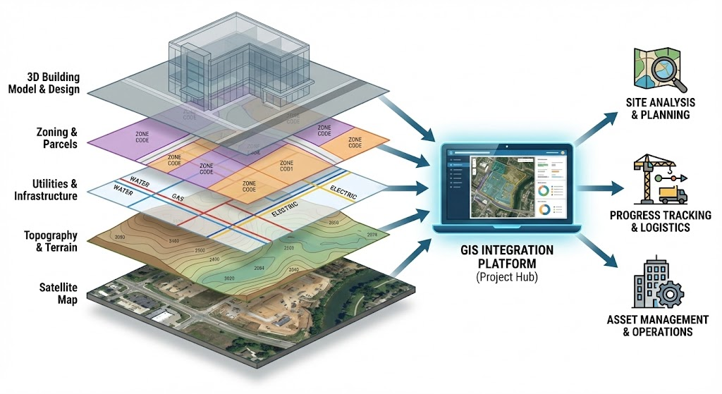
Topographic mapping services support smarter route planning and high-level decision making for transport, telecom, municipal, mining, utility, and land administration teams. These maps help users prepare clearer thematic data and respond more effectively during planning and disaster management workflows.
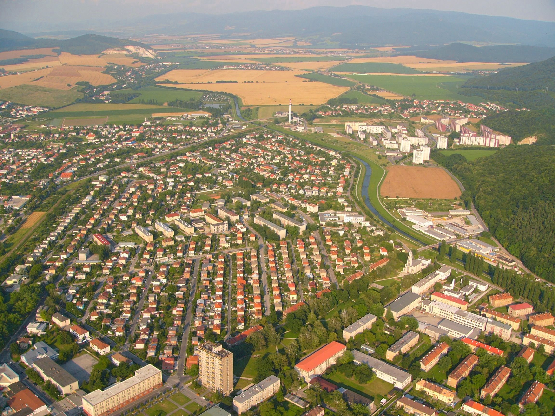
Our 3D topographic maps can cover hundreds of square kilometers with detail and precision, giving project teams dependable terrain information for engineering, infrastructure, and GIS-based analysis.
3D terrain mapping
Contours, terrain models, route intelligence, and GIS-ready mapping deliverables.
Our Topographic Mapping Services
Planning, engineering, and photogrammetric support for varied mapping requirements.
A team of experienced photogrammetric professionals supports topographic mapping requirements across planning, engineering, and GIS production. The workflow connects planimetric mapping, orthophoto production, digital terrain modelling, contour generation, and quality-controlled map delivery.
With a global delivery approach, assured quality processes, and skilled resources, clients receive reliable topographic mapping services with strong value for their project investment.
Route Planning
Terrain data that helps telecom and transport teams compare routes and plan infrastructure.
Thematic Data
Clear map layers that support analysis, reporting, and GIS-based decision workflows.
3D Terrain Models
Detailed terrain representation for engineering, land development, and surface analysis.
Contour Mapping
Contour and elevation products prepared from photogrammetric and geospatial datasets.