Coastal and Shallow-Water Mapping
Bathymetric LiDAR
High-resolution seabed and coastline data from one connected workflow.
Bathymetry describes the topography of the seabed, measured as depth from the water surface to the seafloor. Bathymetric LiDAR captures geospatial data across coastlines and shallow waters, helping teams create hydrographic data quickly where conventional acoustic surveys may be difficult, expensive, or unsafe to complete.
Accurate bathymetry supports safe navigation, marine infrastructure planning, coastal protection, wind-energy development, pipeline routing, dredging operations, and risk assessment in sensitive nearshore environments.
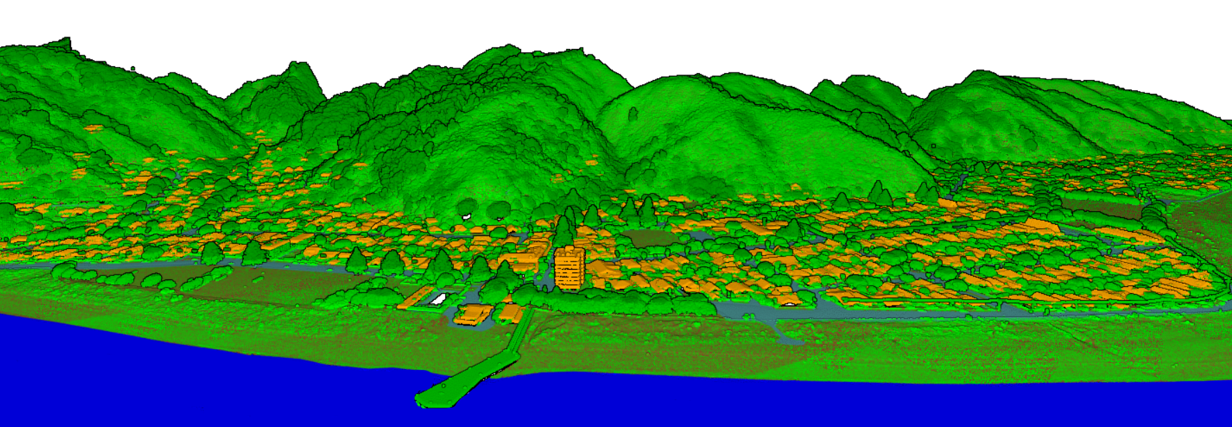
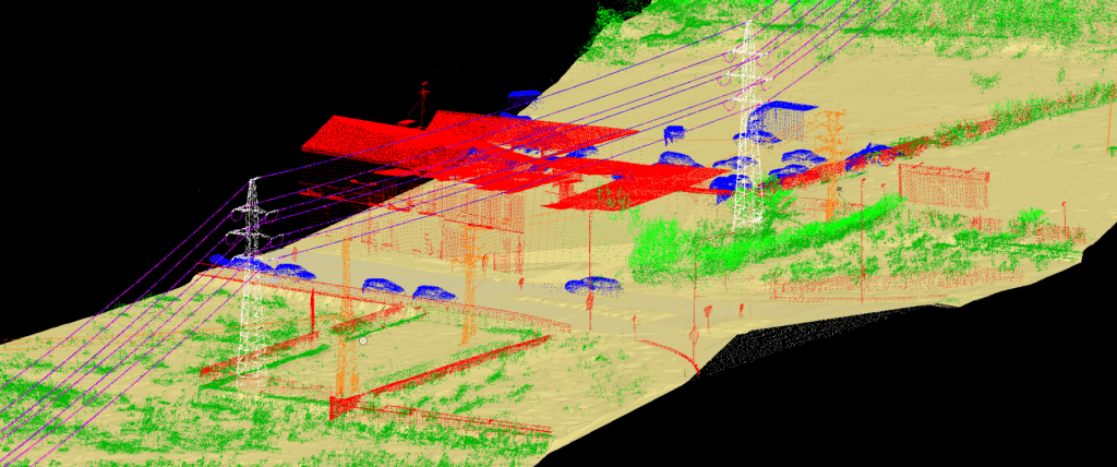
Process Output
Classified bathymetric products ready for analysis and delivery.
Earth On Mapping provides bathymetry post-processing with dedicated LiDAR classification personnel. We classify the coastal point cloud into meaningful terrain and water-related classes, then prepare clean datasets that can move into GIS, CAD, modelling, and reporting workflows.
Ground
Reliable land-surface classes for beaches, banks, coastal terrain, and nearshore landforms.
Underwater Ground
Seafloor and riverbed classes that support depth surfaces, seabed models, and hydrographic review.
Underwater Vegetation
Feature separation for submerged vegetation, clutter, and objects that can affect model quality.
Water Level
Water-surface interpretation and supporting levels for consistent elevation and depth products.
Where It Helps
Bathymetry for coastal engineering, marine assets, and operational monitoring.
Bathymetric LiDAR is effective for wide-area coastal surveys because it captures both land and shallow seafloor at the same time. That continuous model helps teams understand how shorelines, underwater terrain, and built marine assets interact.