Enterprise Geospatial Services
GIS System Design and Data Processing
High-quality geospatial data built around the way your organization works.
High-quality geospatial data solutions built around the way your organization works, supporting efficient GIS system design and accurate data processing. Our services help streamline spatial data management, improve workflow integration, and deliver reliable mapping outputs for planning, analysis, infrastructure, and decision-making across various industries.
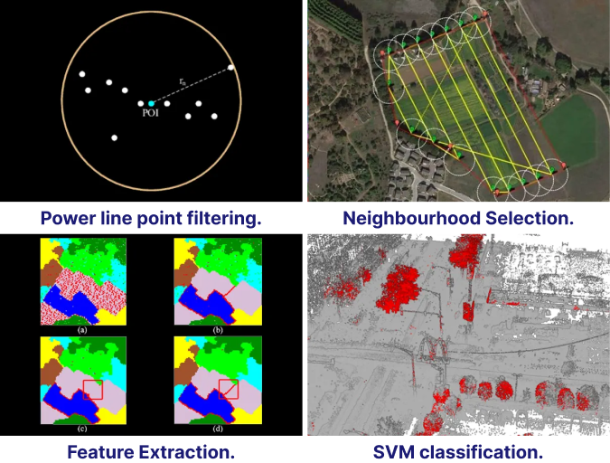
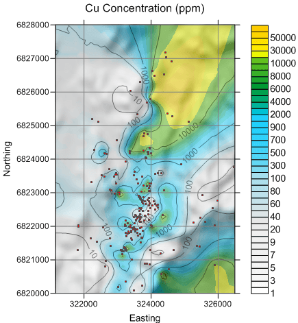
Practical GIS Adoption
Simplifying geospatial technology so teams can focus on decisions.
GIS processing should put geographic patterns in users' hands without demanding heavy technical training. We structure data, workflows, and map products so business users, government teams, and project managers can interpret spatial information quickly and apply it to planning, monitoring, reporting, and operations.
Geodatabase Modeling
Structured geodatabases designed and managed for clean storage, access, and updates.
Quality Verification
Consistency and quality checks for mapping source databases and spatial layers.
Data Migration
Migration, maintenance, and modernization of geospatial datasets across platforms.
Layer Synchronization
Synchronization between GIS base maps, project inputs, and operational data layers.
Web-Enabled Access
Authorized web access control for teams that need secure map and data visibility.
Decision Reporting
Innovative reporting tools that improve organizational decision-making machinery.
Government and Enterprise Support
Integrated geospatial platforms for public, private, and government organizations.
Integrated geospatial platforms designed to support public, private, and government organizations with reliable mapping, data management, and spatial analysis solutions. Our government and enterprise support services help improve planning, infrastructure management, resource monitoring, and decision-making through secure, scalable, and efficient GIS technologies.
GIS Delivery Focus
What the implementation work covers.
- Geodatabase modeling and management for reliable spatial information.
- Consistency and quality verification of mapping source databases.
- Migration and maintenance of geospatial data across systems.
- Synchronization between base maps and input data layers.
- Monitoring GIS technology trends and applying suitable improvements.
- Web-enabled access with authorized access control.